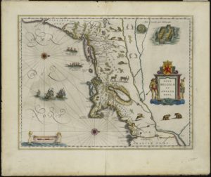
- Willem Blaeu (Dutch), Nova Belgica et Anglia Nova, 1635 – This map is held in the collections of the Connecticut Historical Society and the Norman B. Leventhal Map Center at the Boston Public Library
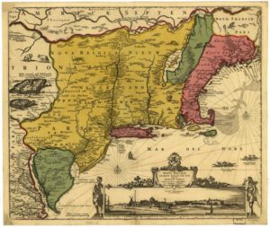
- Nicolaes Visscher (Dutch), Novi Belgii Novæque Angliæ, 1685 – Library of Congress, Geography and Map Division
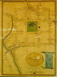
- A Plan of the Town of New Haven with All the Buildings in 1748 by James Wadsworth. New Haven, CT: T. Kensett, 1806 –University of Connecticut Libraries, Map and Geographic Information Center
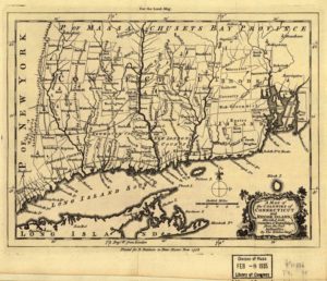
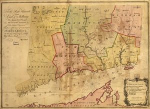
- A map of the colonies of Connecticut and Rhode Island, divided into counties and townships, 1758 – University of Connecticut Libraries’, Map and Geographic Information Center
- A map of the Colony of Connecticut in North-America by Moses Park, 1766 – University of Connecticut Libraries, Map and Geographic Information Center
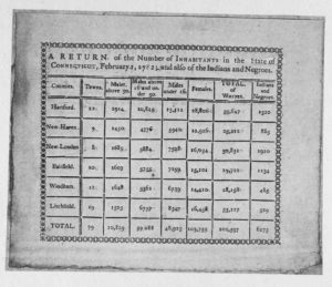
- Document: Census – A return of the number of inhabitants in the State of Connecticut, 1782 – Library of Congress, American Memory
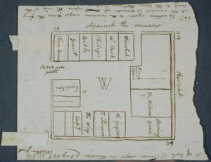
- Plan of the ancient Palisado Plot in Windsor, 1634. John Warner Barber’s 1835 drawing of the earlier plan – Connecticut Historical Society
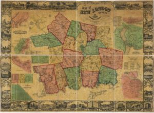
- “Map of New London County, Connecticut.” Henry Francis Walling & William E. Baker, 1854 – Library of Congress, Geography and Map Division
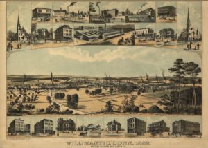
- View of Willimantic, Conn., from Blake Mountain, 1882. Bird’s-eye map. Published by W.O. Laughna, Art Publishing Co. – University of Connecticut Libraries’, Map and Geographic Information Center
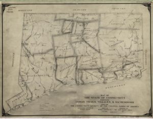
- Map of the state of Connecticut showing Indian trails, villages, and sachemdoms by Hayden Griswold, ca. 1930 – University of Connecticut Libraries, Map and Geographic Information Center
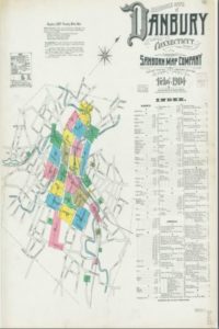
- An example of a Sanborn map titled Insurance maps of Danbury, Fairfield County, Connecticut by the Sanborn Map Company, 1904. Click the link for more maps – Yale University, Sterling Memorial Library, Connecticut Sanborn Fire Insurance Maps
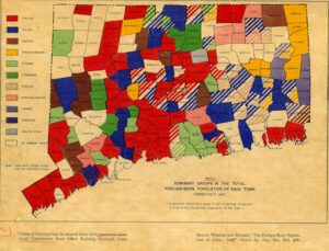
- Map: Dominant Groups in the Total Foreign-Born Population of Each Town, Connecticut 1940, Storrs Agricultural Experiment Station – Archives & Special Collections at the Thomas J. Dodd Research Center, University of Connecticut Libraries

