Cynthia Pope
Department of Geography, Central Connecticut State University
TEACHER'S SNAPSHOT
Subjects:
Agriculture, Food, Geography
Course Topics/Big Ideas:
Globalization and Economic Interdependence, The Impact of Geography on History
Town:
Statewide
Grade:
High School
Lesson Plan Notes
Access to food is critical to a community’s survival and ability to function. Traditionally, agriculture has played a pivotal role in the development of this region. The majority of early inhabitants, from Indigenous peoples to the later European arrivals, used the land and waters for sustenance. However, the prevalence of agriculture diminished with the onset of the industrial revolution. Today only around 5,000 farms exist in Connecticut. Over the past decade or so, however, there has been an increased interest in buying local products. Farm-to-table restaurants that incorporate local crops and seafood and farmer’s markets have become more popular throughout the state. However, most people still buy the majority of their food and household items at grocery stores. This activity addresses how Connecticut residents currently obtain their food and how location affects the types of food available.
ESSENTIAL QUESTION
SUPPORTING QUESTIONS
- What is a “foodscape”?
- How are global connections reflected in grocery store offerings in Connecticut?
- What are the main agricultural products and food industries in Connecticut?
ACTIVITY
1. Introduce the compelling and supporting questions and have students read Norah Mackendrick’s “Foodscape” article (in the toolkit) in order to develop an understanding and working definition of a “foodscape.”
2. After reading and discussing the article, students will develop additional supporting questions about Connecticut’s foodscape.
3. Next, students will look at one aspect of foodscapes (supermarkets) to see how foodscapes look in different cities, towns, and villages throughout Connecticut. Individually (on phones or personal devices) or as a class (using a smartboard/classroom computer), go to Google Maps. If GPS is activated, the map will automatically take you to your current location. If that does not happen, use the search bar to find your location. You should see buttons for various generic destinations, like “Hotels,” “Gas,” “Restaurants,” etc. Click on “Groceries” to see all of the grocery stores in the area.
- First, determine the distance to the closest grocery store. Either by name recognition or by using the photos included by Google, can you determine whether this is a large supermarket or a smaller, local grocery store or convenience store?
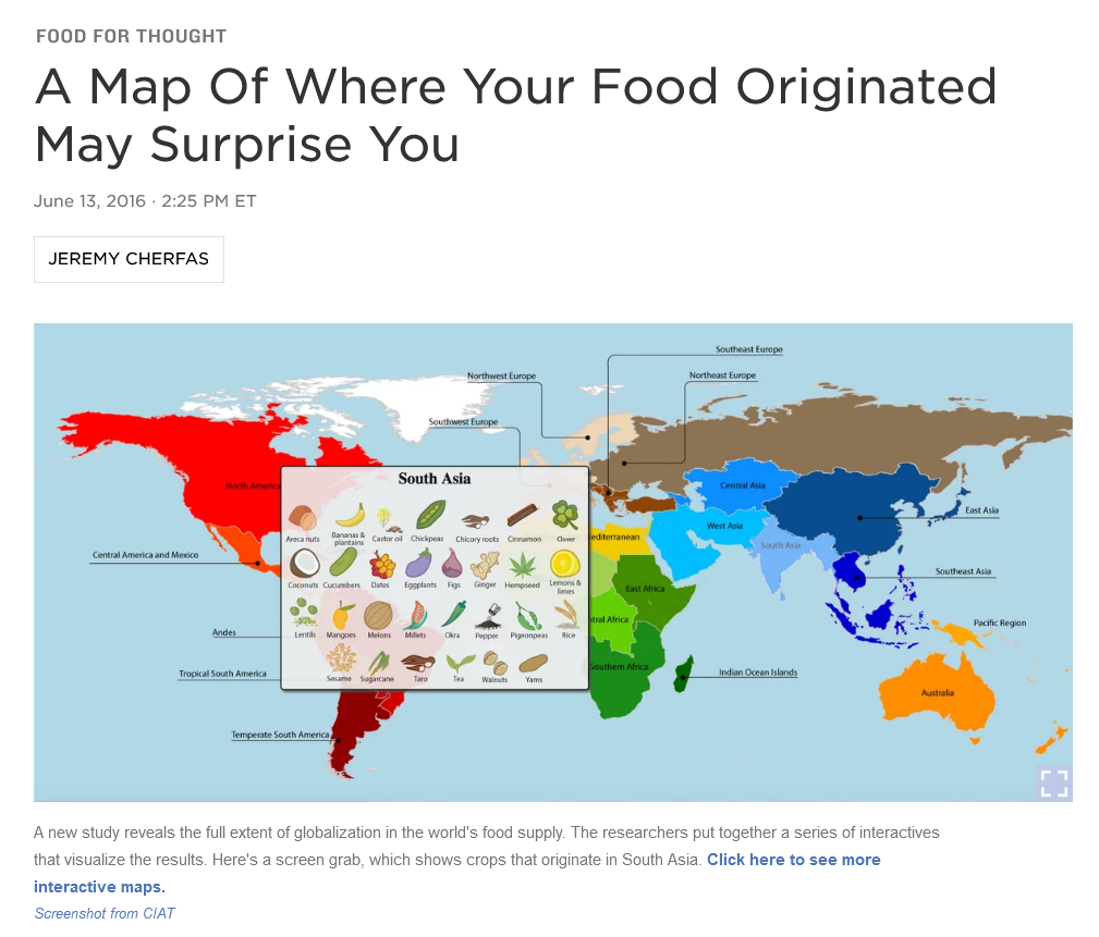
- Identify one of the larger, chain supermarkets in the area (such as ShopRite, Stop & Shop, Big Y, or Whole Foods) and click through to their website. Find a store that offers online shopping and visit the “produce” section. Make a list of five fruits and five vegetables that are available. Write down where each item is grown—either what part of the United States or, if they are imported, what country/region of the world. If the store does not list where the item comes from, use this map to help you identify a likely place of origin: blog.ciat.cgiar.org/origin-of-crops/.
- Before wrapping up the supermarkets portion of the activity, you may want to have students use Google maps to look at the accessibility of grocery stores in some of the less-populated areas of the state (e.g. the Northwest or Northeast) or in more urban areas, such as Hartford or Bridgeport. What is the distance to sizable grocery stores from some of those places? How would you access them if you did not have a car? Does that area have public transportation? Or do grocery stores near there offer home delivery?
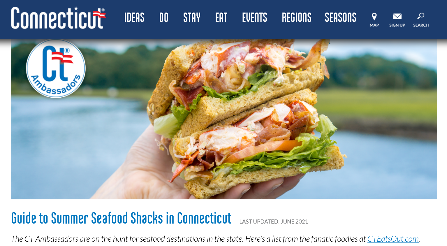
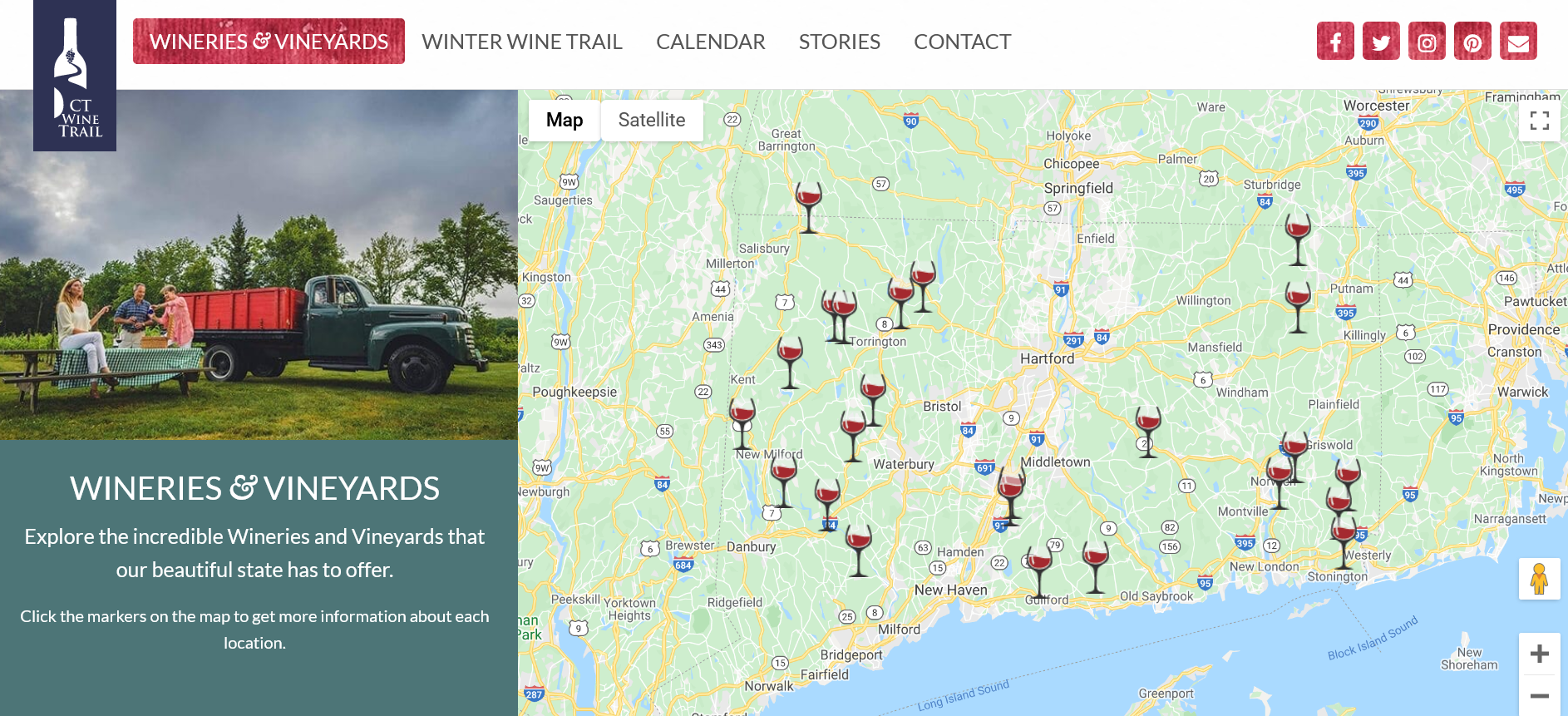
4. Next, students will look at locally grown/produced food. Break the class into groups and have each group look at one or two Connecticut counties (Fairfield, Hartford, Litchfield, Middlesex, New Haven, New London, Tolland, or Windham.) Using the four websites listed in the toolkit, students will compile a list of places to buy locally grown, fished, or produced food in each county (NOTE: you may choose to exclude the wineries from this activity at your own discretion). Is one type of food more prevalent than others in certain counties? Can you make a guess as to why? Do you notice any other patterns? Where in Connecticut is local food most available? Where is it least available? What conclusions can you draw?
5. Revisit the supporting and compelling questions. What questions do students still have, and where could they look for answers?
OPPORTUNITIES FOR ASSESSMENT
- After completing this inquiry activity, students will write a short essay about what the foodscape looks like in their community.
- Students will create a presentation tracing the origin of a food in their supermarket from growing area (production location) to supermarket (consumption location.)
- For those studying AP Human Geography, students will create a StoryMap of findings about their local foodscapes using ESRI software, which is available publicly (See: storymaps.arcgis.com/stories). A StoryMap can also be used to expand the grocery store activity or the agriculture activity. For example, tracing the origins of a crop like bananas can reveal how they came to be grown in their current locations and how the crop came to be desired as a commodity and exported to Connecticut grocery stores.
- Students will interview someone involved in the agricultural or fishing industries in Connecticut (either someone they already know, or someone they reach out to through school) and share the findings via essay, class presentation, video, or podcast.
RESOURCE TOOL KIT
Mackendrick, Norah. “Foodscape.” Jargon: Key Concepts in Social Science Research. August 22, 2014. Volume 13; Issue 3; pages 16-18.

Cherfals, Jeremy. “A Map of Where Your Food Originates May Surprise You.” June 13, 2016.
To see interactive maps, click the link under the first image, or visit: blog.ciat.cgiar.org/origin-of-crops/.

Connecticut Local Farm & Food Guide, Connecticut NOFA

Visit a Farm, Connecticut Dairy
ADDITIONAL RESOURCES
Places to GO
Arrange a visit to one of the farms listed in the CT Farm Guide to discuss how history, geography, labor, and consumption intersect.
Things To DO
Go on a walking/bus tour within your community to explore all of the places where people can access food (supermarkets, convenience stores/bodegas, restaurants, farmer’s markets, food trucks, etc.)
Watch Paul Greenburg’s lecture on “The Power of Choice in Climate Change” from the International Festival of Arts and Ideas
Websites to VISIT
Articles to READ
“The Essential Role of Immigrants in the U.S. Food Supply Chain.” Migration Policy Institute, April 2020.
“Coming Home to Salsa: Latino Roots of American Food” by Jeffrey M. Pilcher, National Park Service.
“What Role Do Local Grocery Stores Play in Urban Food Environments? A Case Study of Hartford-Connecticut.” Katie S. Martin, et al. PloS One, April 2014.


